Translate

Sunday, September 30, 2018

Kenosha Pass Colorado

September 'installments' are from a 10 day trip to Colorado.
There are only a couple of images of 'the  real world' at the end.
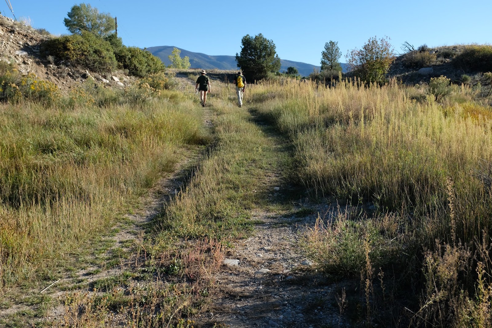
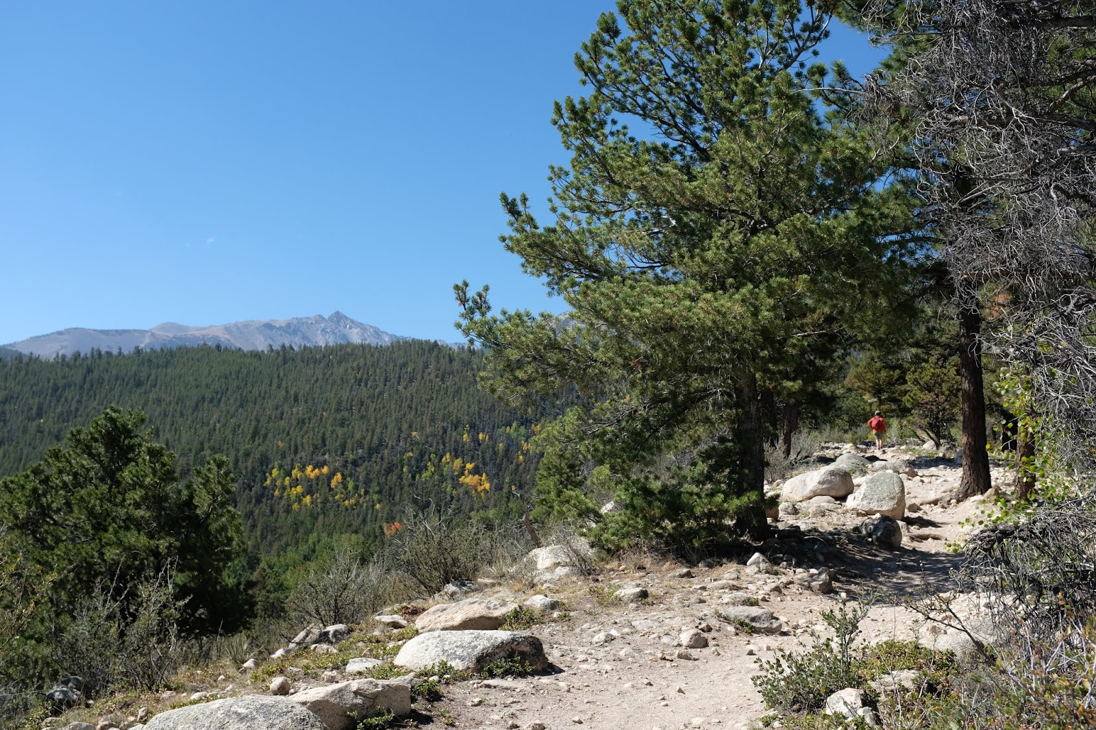
Most shots were taken on hikes around the Arkansas River Valley of central southern CO.
Arid, harsh, impacted by mining, forestry and ranching for sure.
But also quite beautiful.

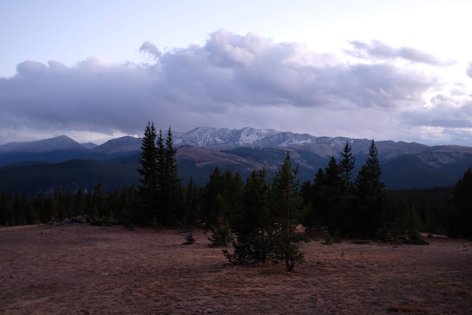
Kenosha Pass is on Highway SR 285 about 65 miles southwest of Denver:  10,000 feet.
It is on the way to the Arkansas River Valley.


Arkansas River Valley, Celestial September Sunset

An introduction to the Arkansas River Valley of central southern Colorado, about three hours southwest of Denver.  The continental divide is visible to the west, beyond the Collegiate Peaks (Yale, Princeton, Harvard).  This is high desert.   The first image, near Frisco and Buena Vista, is perhaps 8,000 feet.  Going downriver toward Salida in the lower three images, the valley slopes down to 7,000 feet and the Ivy League names give way to Native American ones of the high mountains:  Shavano, Antero.


Along the Arkansas River in Salida, CO


Browns Creek Falls Trail


Browns Creek Falls Trail is in the San Isabel National Forest, a few miles northwest of Buena Vista, CO.
The trail started at 9,000 feet on a hot, dry, south-facing ridge with mostly Lodgepole Pine and Aspens in the moister shadier areas. 
The falls are at 9,800 feet and have a different vegetation.
This is on the east side of the Continental Divide and Collegiate Peaks.


Grays Creek Trail

Off Marshall Pass Road/Rt 200, off SR 285, southwest of Salida CO.
Trail  starts at about 9,600 and we went up to about 10,600 (below treeline).
Because of moisture and partial shade, the Aspens were able to thrive.
In late September, their leaves were turning - and falling.
At higher elevations, the Aspens had already lost their leaves.


Colorado Family People


Salida, CO: 'Wildlife and Wildflowers'

Salida is a town on the Arkansas River, about 7,000 people and about 7,000 feet!
These bucks are real, not lawn ornaments!


Apache Plume native shrub in a front yard - Fallugia  paradoxa.

Rabbit Brush native landscaping - Chrysothamnus.


Juniper, Juniperus  scopulorum

Hike Turquoise Lake to Uncle Bud's Cabin

Turquoise Lake lies west of Leadville, CO.
The trailhead at the west end of Turquoise Lake is at about 10,000 feet.
The trail at that point goes along with the Colorado and Continental Divide Trails and is easy to follow:  marked with CD signs and blazes on the trees.


Rocks Ascending

Ascending from Timberline Lake Trailhead to Uncle Bud's cabin (about 10,000 to 11,400), there were lots of  rocks.  They were not as well sorted as these pictures, but the lower ones tended to be more rounded and covered with  soil.  The really round ones may be glacial outwash.  Near the top saddle, the bottom picture shows a huge field of large talus rocks.
This is near the Continental Divide west of Leadville, CO.


High Mountain Stream Meadow

The subalpine evergreens give  way to grasses and willow shrubs along the stream in this meadow at about 11,400 feet.


Uncle Bud's Cabin

Uncle Bud's Cabin is maintained by the 10th Mountain Division Hut system and is used mostly by winter skiers.  It is at about 11,400 feet - above Leadville CO and Turquoise Lake.


 It was snowing on and off most of the way up.  Alan was happy to go inside  (Sept 24)