Chestnut trees were an important food source and are still common at lower altitudes. They appear to have diseases, although not as bad as America. Dead Chestnuts had been carved into sculptures.
The spruce forests are traditionally harvested but they did not look healthy.
Monte Rosa to the southwest in the Alps, second highest mountain in Europe.
View to West: villages in Italy on the other side of Lago Maggiore, Alps beyond.
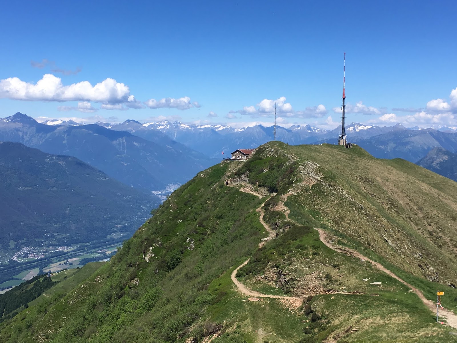
View to north: path toward Monte Tamaro that we will be taking.
View to east, where we came from, Lugano and Lago di Lugano. Breno is the small village we started from that morning, visible down valley at 800 meters.
This day we had hiked from Zottone crest around Monte Magno, to the Passo d'Agrario. The refreshment hut there was visible from a long way away. 1,550 meters elevation.
Monte Tamaro is just under 2,000 meters. There are cable cars with access north and south, so the paths are often crowded. Not, however, at 7 in the morning and not from the refuge at 1,800 meters.
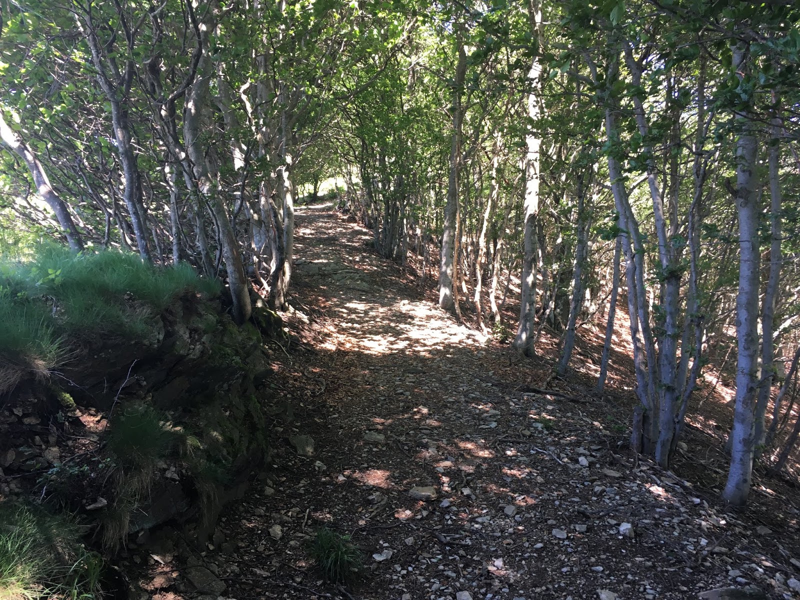
Bus from hotel at Rivera (500) to Medeglia (700). Start hike at Medeglia and go through wet woods to Gola di Lago. I think the feathery flower growing along abundant streams was Goatsbeard, Aruncus dioicus.
Gola di Lago was a marshy area with historical markers commemorating fighting during both world wars. We lost the path and did not venture into the wet pasture to read the history markers. Next time....