Translate

Wednesday, October 31, 2018

October High Line


 The High Line is an urban park on the lower west side of Manhattan, built along an abandoned freight rail line.  

  Plants, star architecture, sculpture, people, the High Line has it all.
About seven million people visit The High Line a year; over 20 million since it opened.
Good place to people watch.


October High Line: Architecture Rising

The High Line is adjacent to the Hudson Yards redevelopment area with tons of new building.  Below are high rise residential, commercial, 'The Vessel,' and a display space.
Urban theme park.


The Zaha Hadid building, above and below, is striking and relatively low.


Diane von Furstenburg and Barry Diller's building below.

Things are going up fast.  The High Line is part of and and has accelerated development.


October High Line: Plants, Mostly Grasses

Even though there had not been a real frost by mid-October, most of the earlier plants had faded and the warm season grasses were in their glory.  The most prominent was Calamagrostis brachytricha, Korean Feather Reed Grass.


October High Line: People and Plants

Although the High Line is a garden, a linear elevated urban garden, it is dwarfed by the surrounding buildings and the millions of people who  flow through it.  It is an interesting and welcome space.  Many people do not seem to actually see the plants.


October High Line: Buildings + Plants + Sculpture


The photo above shows a green roof next to the Zaha Hadid building.  The green roof has skylights and sculptures; 

The image to the right shows a vertical green wall separating the courtyard of the Zaha Hadid building and the green roof.


Cast metal branch sculpture above contrasts with the grasses and building wall.
The sculptor explores 'branding and perception.'


Image to right is a reminder that both plants and buildings vie for  attention.  The High Line has been part of and accelerated a building boom in the area.

Sunday, September 30, 2018

Kenosha Pass Colorado

September 'installments' are from a 10 day trip to Colorado.
There are only a couple of images of 'the  real world' at the end.
Most shots were taken on hikes around the Arkansas River Valley of central southern CO.
Arid, harsh, impacted by mining, forestry and ranching for sure.
But also quite beautiful.

Kenosha Pass is on Highway SR 285 about 65 miles southwest of Denver:  10,000 feet.
It is on the way to the Arkansas River Valley.


Arkansas River Valley, Celestial September Sunset

An introduction to the Arkansas River Valley of central southern Colorado, about three hours southwest of Denver.  The continental divide is visible to the west, beyond the Collegiate Peaks (Yale, Princeton, Harvard).  This is high desert.   The first image, near Frisco and Buena Vista, is perhaps 8,000 feet.  Going downriver toward Salida in the lower three images, the valley slopes down to 7,000 feet and the Ivy League names give way to Native American ones of the high mountains:  Shavano, Antero.


Along the Arkansas River in Salida, CO


Browns Creek Falls Trail


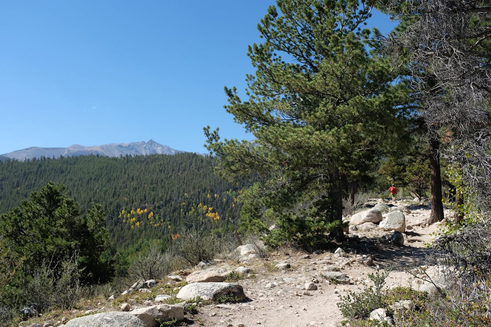
Browns Creek Falls Trail is in the San Isabel National Forest, a few miles northwest of Buena Vista, CO.
The trail started at 9,000 feet on a hot, dry, south-facing ridge with mostly Lodgepole Pine and Aspens in the moister shadier areas. 
The falls are at 9,800 feet and have a different vegetation.
This is on the east side of the Continental Divide and Collegiate Peaks.


Grays Creek Trail

Off Marshall Pass Road/Rt 200, off SR 285, southwest of Salida CO.
Trail  starts at about 9,600 and we went up to about 10,600 (below treeline).
Because of moisture and partial shade, the Aspens were able to thrive.
In late September, their leaves were turning - and falling.
At higher elevations, the Aspens had already lost their leaves.